File:02- Suriname's Map (FAO, 2015).PNG
From energypedia

Size of this preview: 462 × 599 pixels. Other resolutions: 185 × 240 pixels | 640 × 830 pixels.
Original file (640 × 830 pixels, file size: 0 bytes, MIME type: image/png)
Summary
| Description |
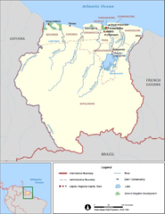
English: Suriname's Energy Situation Photo
|
|---|---|
| Source | |
| Date |
2019-03-04 |
| Author |
FAO-AQUASTAT |
| Permission |
See license tag below. |
Licensing
{{subst:uwl}}
File history
Click on a date/time to view the file as it appeared at that time.
| Date/Time | Thumbnail | Dimensions | User | Comment | |
|---|---|---|---|---|---|
| current | 14:31, 4 March 2019 | | 640 × 830 (0 bytes) | ***** (***** | *****) | User created page with UploadWizard |
You cannot overwrite this file.
File usage
The following page uses this file:


.PNG&oldid=288365)
.PNG)
.PNG&action=edit&redlink=1)
.PNG&action=edit)
.PNG&action=history)
.PNG)
.PNG)
.PNG&oldid=288365)
.PNG&action=info)
.PNG)