File:Location Algeria.png
Original file (2,000 × 2,000 pixels, file size: 615 KB, MIME type: image/png)
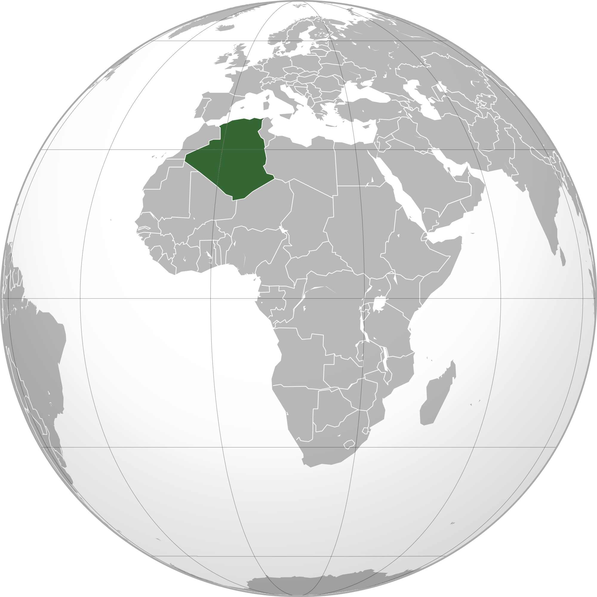
Description Algeria (orthographic projection).svg العربية: الخريطة الهجائية للجزائر. English: Orthographic map of Algeria. Español: Mapa ortográfico de Argelia. Română: Harta ortogonală a Algeriei. Date Source
Own work Author
L'Américain Permission (Reusing this file)
See below. [edit] Licensing Public domainPublic domainfalsefalse Public domain I, the copyright holder of this work, release this work into the public domain. This applies worldwide. In some countries this may not be legally possible; if so: I grant anyone the right to use this work for any purpose, without any conditions, unless such conditions are required by law. Edit section: Licensing Licensing
External file, Open Content. This file is from an external source. It has been published under an open content license. Details about the license can be found in the file description.
File history
Click on a date/time to view the file as it appeared at that time.
| Date/Time | Thumbnail | Dimensions | User | Comment | |
|---|---|---|---|---|---|
| current | 11:00, 17 March 2011 | | 2,000 × 2,000 (615 KB) | ***** (***** | *****) | Description Algeria (orthographic projection).svg العربية: الخريطة الهجائية للجزائر. English: Orthographic map of Algeria. Español: Mapa ortográfico de Argelia. Română: Harta ortogonală a Algeriei. Date Source Own work A |
You cannot overwrite this file.
File usage
The following page uses this file:


