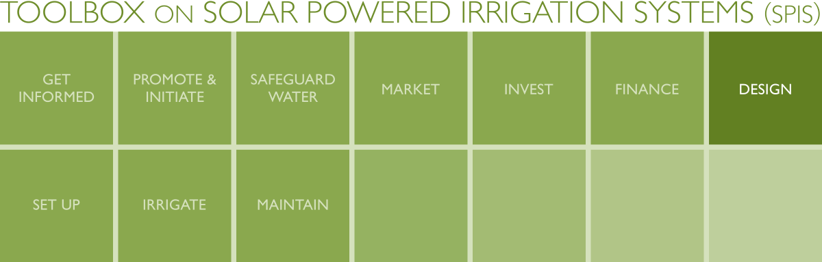
SPIS Toolbox - Collect Data
| ►Back to the Start Page | ►Back to the Module Page | ►Go to the Next Chapter |
1. Collect Data

For a proper design of an SPIS, a set of data and information is required on the meteorology, soil, crop, water and other site-specific parameters. The data can be obtained from a combination of interviews with the producer, on-site field observation and off-site data (internet, databases, etc.). The producer has to tell the designer what crops are to be grown at what time and how the crops are to be managed. The producer may want to use fertigation for accelerated growth, or the producer may opt for fruit trees instead of annual crops. Based on the location of the farm, a lot of data can be collected off-site, such as meteorological data, topography and perhaps even information on water availability. While an on-site survey of solar radiation and other meteorological data would be a worthwhile exercise, most systems are based on existing data derived from nearby reference locations. Data and information on evapotranspiration and crop water requirements can be obtained from agricultural offices or extension services. Finally, a field visit has to be organized to validate the collected data and to complement it with local information on e.g. soil and water quality, shadowing from trees or hill tops, ease of access to the site, the pumping head and more.
The DESIGN – Site Data Collection Tool contains interview guidelines and checklists to ensure that all required information for creating an SPIS design is available. The DESIGN – SPIS Suitability Check Tool is used to make a qualitative check if a site is suitable for an SPIS.
Outcome/Product
- Detailed description of farm-specific situation, as a basis for the assessment of the suitable configuration and the technical design;
- DESIGN – Site Data Collection Tool to collect all the information required to create a design for an SPIS;
- DESIGN – SPIS Suitability Check Tool to check a site’s suitability for SPIS.
Data Requirements
- Meteorological data: insolation, temperature, wind speed, humidity, rainfall, evaporation;
- Site data: longitude, latitude, altitude, water source, pumping head, shadowing, climate, terrain;
- Crop data: crop type and variety, growing season, crop rotation, crop water requirements, fertilizer, crop protection requirements;
- Soil data: soil type, salinity, water holding capacity, organic matter content, fertility;
- Water data: availability, groundwater recharge, water rights, salinity, temperature, algae content, sediment content;
- Market data: demand situation, selling price, seasonality, market type and distances.
People/Stakeholders
- Producers / producer groups;
- Agricultural service providers;
- Water resources management authorities;
- Meteorological service providers;
- System integrators.
Important Issues
- SPIS requires the producer to cope with varying water flows over the day and over the year.
- Insufficient evaluation of water requirements and availability on-site often lead to under- or oversized PV systems. This frequently occurs in subsidy-driven markets, where the system designs are standardized and the size is not scalable.
| ►Back to the Start Page | ►Back to the Module Page | ►Go to the Next Chapter |


