Click here to register!
Difference between revisions of "SPIS Toolbox - Evaluate Geophysical Parameters"
***** (***** | *****) m |
***** (***** | *****) m |
||
| Line 21: | Line 21: | ||
'''[[SPIS Toolbox - Topography|2.4 Topography]]'''<br/> | '''[[SPIS Toolbox - Topography|2.4 Topography]]'''<br/> | ||
'''[[SPIS_Toolbox_-_Crops_and_Livestock|2.5 Crops and Livestock]]'''<br/> | '''[[SPIS_Toolbox_-_Crops_and_Livestock|2.5 Crops and Livestock]]'''<br/> | ||
| − | '''[[SPIS_Toolbox_- | + | '''[[SPIS_Toolbox_-_Ambient_Temperature|2.6 Ambient Temperature]]'''<br/> |
| − | '''[[SPIS_Toolbox_- | + | '''[[SPIS_Toolbox_-_Demographics|2.7 Demographics]]'''<br/> |
{{SPIS Reference}} | {{SPIS Reference}} | ||
Latest revision as of 13:35, 4 September 2018
| ►Back to the Start Page | ►Back to the Module Page | ►Go to the Next Chapter |
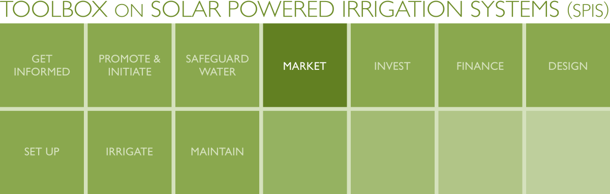
2. Evaluate Geophysical Parameters
Several geophysical parameters can be used to assess SPIS markets. This module highlights 3 that are crucial to the viability of SPIS applications as discussed in Chapter 1: Land cover-land use, solar irradiation and precipitation (under water availability). If the state of these three parameters is unfavourable in the area under assessment, SPIS is unlikely to be practical. An additional 4 parameters that are key to the market assessment for SPIS are also identified – these do not affect the viability of SPIS; they affect the success of SPIS adoption on a case by case basis.
The 7 parameters are expounded on below:
2.1 Land Cover/Land Use
2.2 Solar Irradiation
2.3 Water Availability
2.4 Topography
2.5 Crops and Livestock
2.6 Ambient Temperature
2.7 Demographics


