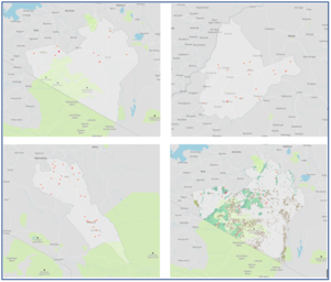
| Display title | File:Fig 4- Maps showing distribution of agro-processing facilities (red symbols).png |
| Default sort key | Fig 4- Maps showing distribution of agro-processing facilities (red symbols).png |
| Page length (in bytes) | 270 |
| Namespace | File |
| Page ID | 137842 |
| Page content language | en - English |
| Page content model | wikitext |
| Indexing by robots | Allowed |
| Number of redirects to this page | 0 |
| Hash value | 2ce2d9840e0a3e3362eb6040096020d881fef971 |
| Page image |  |
| Edit | Allow all users (infinite) |
| Move | Allow all users (infinite) |
| Upload | Allow all users (infinite) |
| Page creator | ***** (***** | *****) |
| Date of page creation | 13:29, 16 May 2023 |
| Latest editor | ***** (***** | *****) |
| Date of latest edit | 13:29, 16 May 2023 |
| Total number of edits | 1 |
| Total number of distinct authors | 1 |
| Recent number of edits (within past 90 days) | 0 |
| Recent number of distinct authors | 0 |


