File:Watershed Deliniation Topographic Map.png
From energypedia
The printable version is no longer supported and may have rendering errors. Please update your browser bookmarks and please use the default browser print function instead.
Size of this preview: 570 × 600 pixels. Other resolutions: 228 × 240 pixels | 921 × 969 pixels.
Original file (921 × 969 pixels, file size: 839 KB, MIME type: image/png)
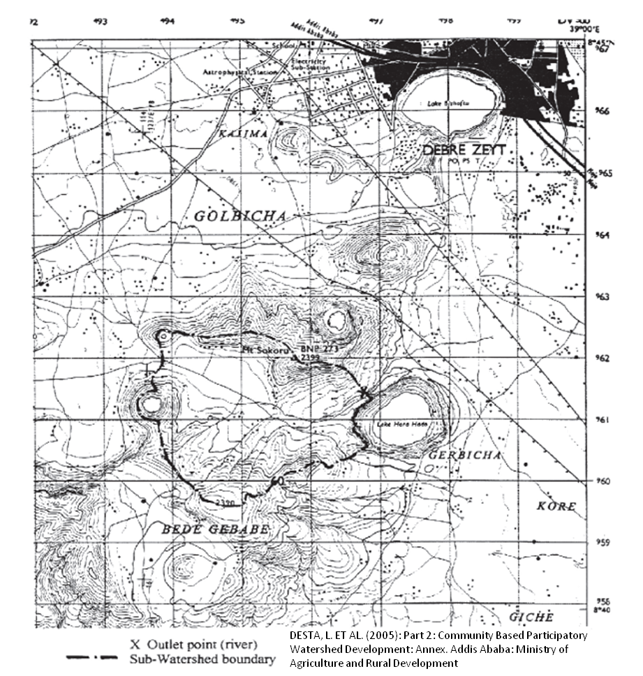
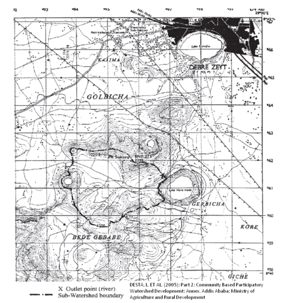
Example: Watershed Deliniation on a Topographic Map. Source: DESTA, L. ET AL. (2005): Part 2: Community Based Participatory Watershed Development: Annex. Addis Ababa: Ministry of Agriculture and Rural Development.
Licensing
File history
Click on a date/time to view the file as it appeared at that time.
| Date/Time | Thumbnail | Dimensions | User | Comment | |
|---|---|---|---|---|---|
| current | 08:47, 17 March 2011 | | 921 × 969 (839 KB) | ***** (***** | *****) | Example: Watershed Deliniation on a Topographic Map. Source: DESTA, L. ET AL. (2005): Part 2: Community Based Participatory Watershed Development: Annex. Addis Ababa: Ministry of Agriculture and Rural Development. Category:Ethiopia Category:Hydro |
You cannot overwrite this file.
File usage
The following page uses this file:


