Click here to register!
File:Watershed Deliniation Topographic Map.png
From energypedia
Size of this preview: 570 × 600 pixels. Other resolutions: 228 × 240 pixels | 921 × 969 pixels.
Original file (921 × 969 pixels, file size: 839 KB, MIME type: image/png)
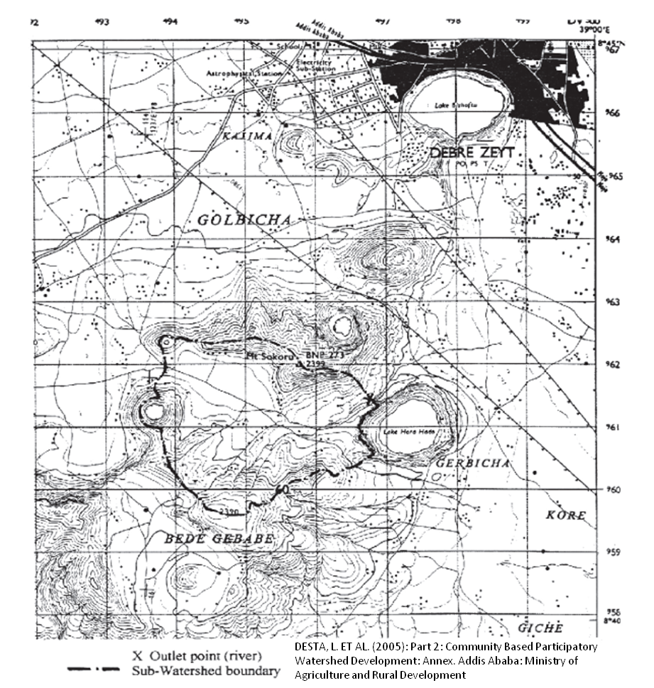
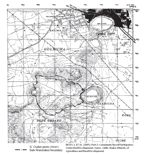
Example: Watershed Deliniation on a Topographic Map. Source: DESTA, L. ET AL. (2005): Part 2: Community Based Participatory Watershed Development: Annex. Addis Ababa: Ministry of Agriculture and Rural Development.
Licensing
File history
Click on a date/time to view the file as it appeared at that time.
| Date/Time | Thumbnail | Dimensions | User | Comment | |
|---|---|---|---|---|---|
| current | 08:47, 17 March 2011 | | 921 × 969 (839 KB) | ***** (***** | *****) | Example: Watershed Deliniation on a Topographic Map. Source: DESTA, L. ET AL. (2005): Part 2: Community Based Participatory Watershed Development: Annex. Addis Ababa: Ministry of Agriculture and Rural Development. Category:Ethiopia Category:Hydro |
You cannot overwrite this file.
File usage
The following page uses this file:


