File:01- Gabon's Borders Map.PNG
From energypedia
Size of this preview: 459 × 600 pixels. Other resolutions: 184 × 240 pixels | 587 × 767 pixels.
Original file (587 × 767 pixels, file size: 0 bytes, MIME type: image/png)
Summary
| Description |
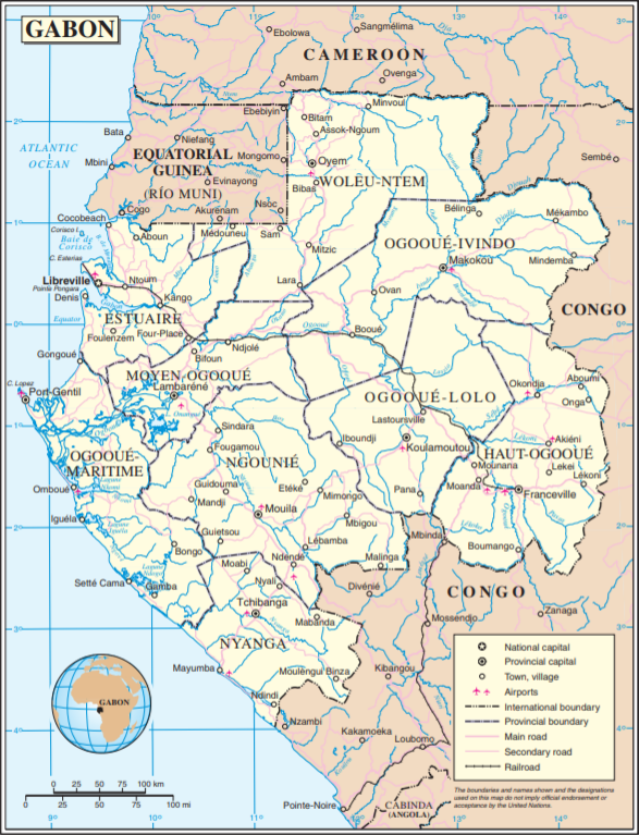
English: Gabon's Energy Situation graph
|
|---|---|
| Source | |
| Date |
2019-07-30 |
| Author |
UN |
| Permission |
See license tag below. |
Licensing
{{subst:uwl}}
File history
Click on a date/time to view the file as it appeared at that time.
| Date/Time | Thumbnail | Dimensions | User | Comment | |
|---|---|---|---|---|---|
| current | 11:14, 30 July 2019 | | 587 × 767 (0 bytes) | ***** (***** | *****) | User created page with UploadWizard |
You cannot overwrite this file.
File usage
The following page uses this file:


