Enhancing the Role of Solar Irrigation for Poverty Reduction Near Mt. Kilimanjaro
From energypedia
Enhancing the Role of Solar Irrigation for Poverty Reduction near Mt. Kilimanjaro
Last edit made by Helen Mengs on 2024-05-07. This is a wiki, do not hesitate to update information by clicking on "Edit with form".
Key Data
Organisation
Climate Action Network Tanzania (CAN TZ)
Duration
February 2021 - April 2023
Project Description
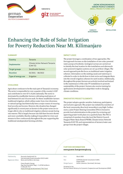
The project leverages a combination of two approaches. The first approach focusses on the installation of new solar-powered water pumps at boreholes. Geological surveys are carried out to identify the best location for the installations and afterwards solar-powered irrigation systems are set up at three villages. The second approach puts the focus on traditional water irrigation schemes. Information on the existing canals and waterways is collected in order to decide how to best revive and integrate them into the overall irrigation schemes for each location. Additionally, throughout the project farmers are actively involved and trained in the maintenance of the solar PV installations to promote sustainability of the project. Farmers also receive training for agribusiness development to adapt their work to changing climate conditions.
GBE Component
Small Projects Fund
Categories
- Productive Use
- Community-based Approaches
Factsheet
Location
Country SPF
Tanzania
Geographic coordinates of project site
{{#geocode: -3.47628, 37.38726}}
Latitude Longitude


