Knowledge fuels change - Support energypedia!
For over 10 years, energypedia has been connecting energy experts around the world — helping them share knowledge, learn from each other, and accelerate the global energy transition.
Today, we ask for your support to keep this platform free and accessible to all.
Even a small contribution makes a big difference! If just 10–20% of our 60,000+ monthly visitors donated the equivalent of a cup of coffee — €5 — Energypedia would be fully funded for a whole year.
Is the knowledge you’ve gained through Energypedia this year worth €5 or more?
Your donation keeps the platform running, helps us create new knowledge products, and contributes directly to achieving SDG 7.
Thank you for your support, your donation, big or small, truly matters!
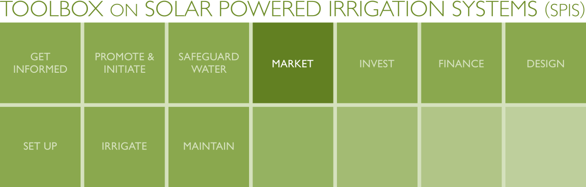
SPIS Toolbox - Evaluate Geophysical Parameters
| ►Back to the Start Page | ►Back to the Module Page | ►Go to the Next Chapter |
2. Evaluate Geophysical Parameters
Several geophysical parameters can be used to assess SPIS markets. This module highlights 3 that are crucial to the viability of SPIS applications as discussed in Chapter 1: Land cover-land use, solar irradiation and precipitation (under water availability). If the state of these three parameters is unfavourable in the area under assessment, SPIS is unlikely to be practical. An additional 4 parameters that are key to the market assessment for SPIS are also identified – these do not affect the viability of SPIS; they affect the success of SPIS adoption on a case by case basis.
The 7 parameters are expounded on below:
2.1 Land Cover/Land Use
2.2 Solar Irradiation
2.3 Water Availability
2.4 Topography
2.5 Crops and Livestock
2.6 Ambient Temperature
2.7 Demographics